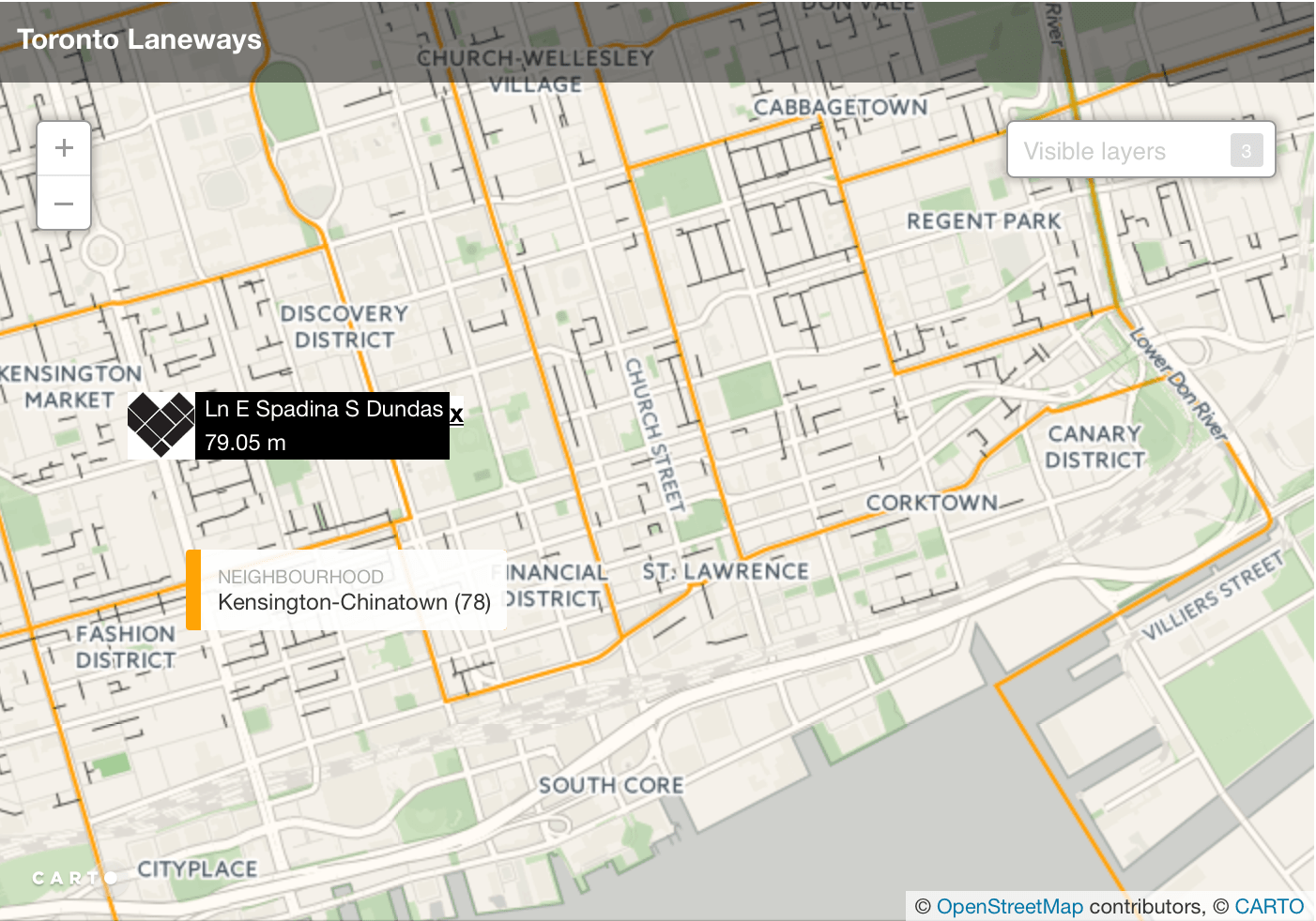
The Laneways Project Web Map
This interactive web map was created for The Laneways Project using City of Toronto Open data and the Carto service.
The Laneways Project helps plan and implement demonstration projects to improve and activate laneways throughout the city, work with the City and other stakeholders to create laneway friendly policies and procedures, and inspire, empower and support communities in undertaking their own laneway improvement projects.
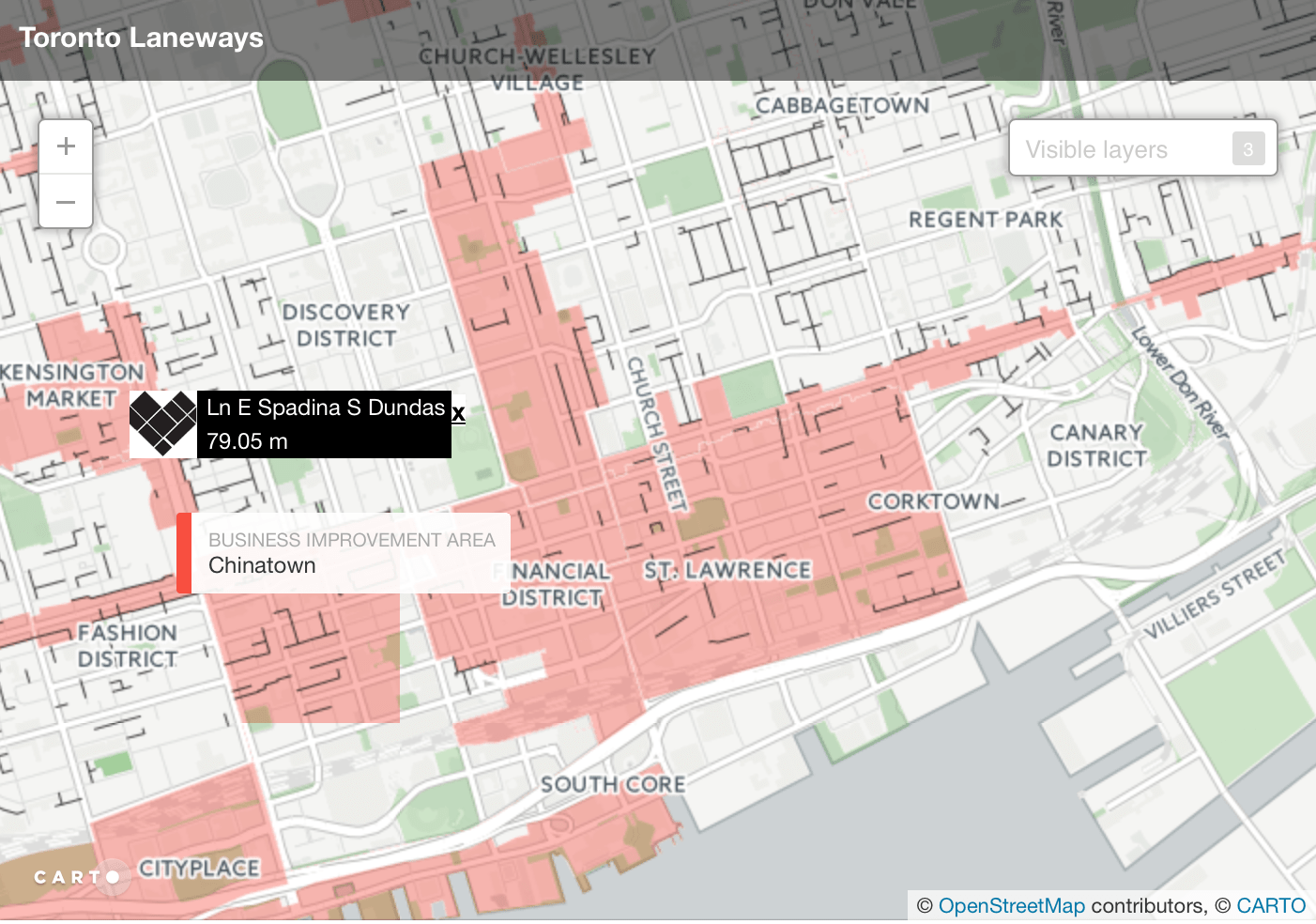
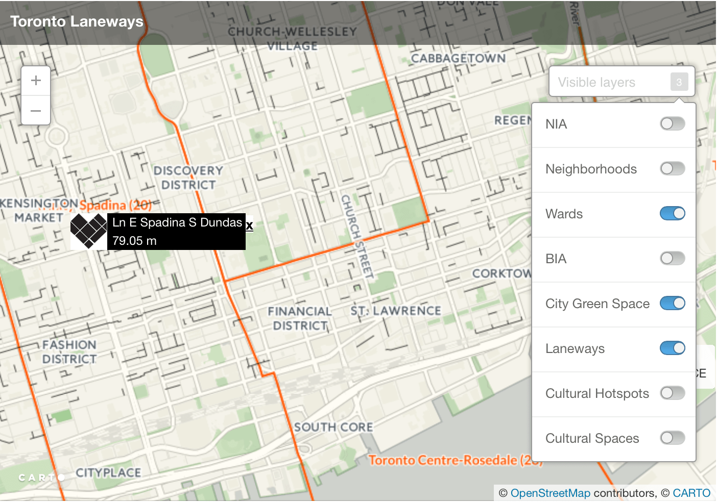
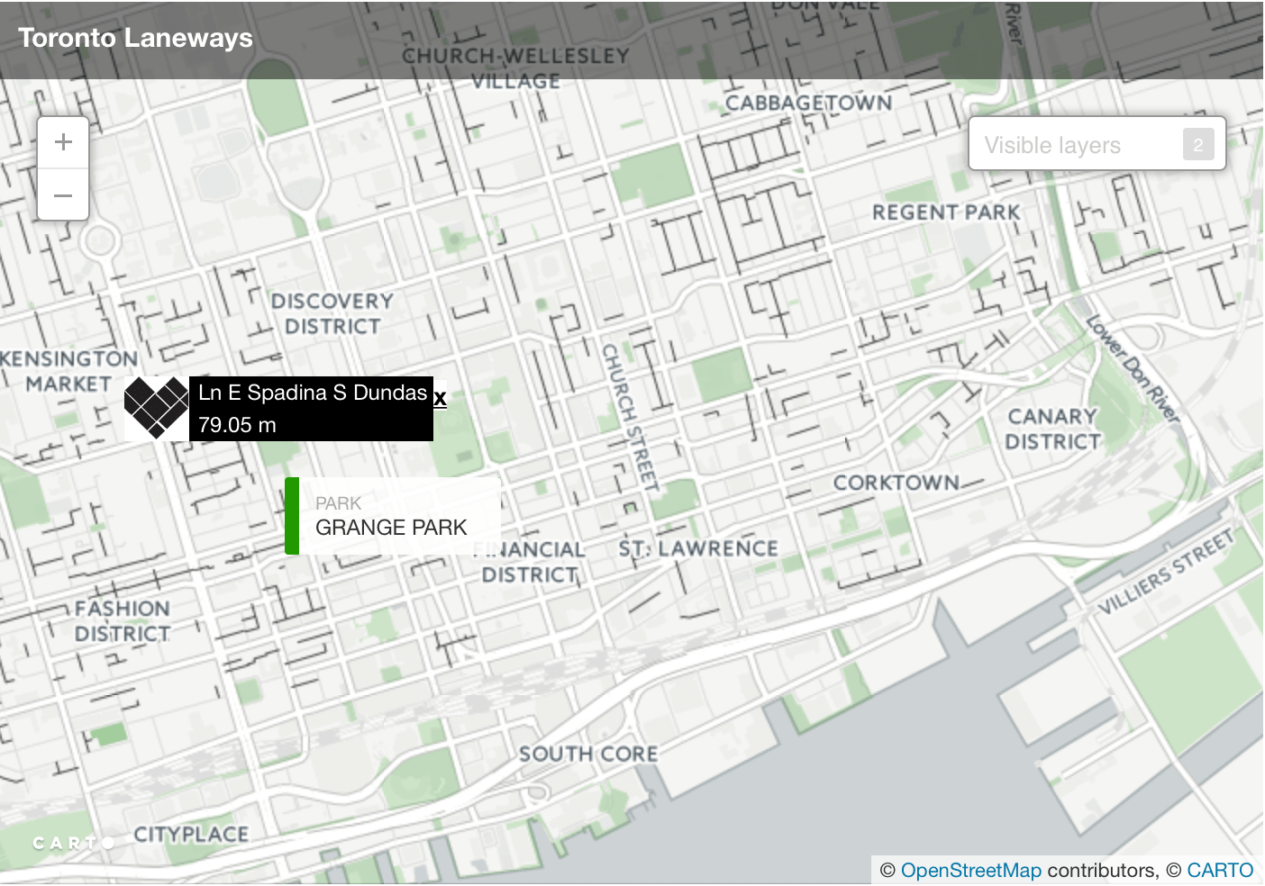
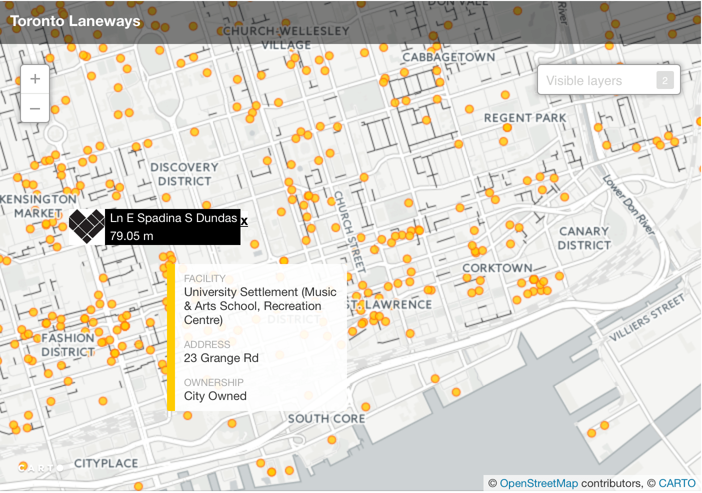
The interactive web map is inteded to raise awareness and help people locate and identify where Laneways are in the city of Toronto and explore their surrounding environments. All of the 8 layers used in the map are from the City of Toronto Open Data portal.
Custom callouts were designed for each unique layer to help identify the layers the callout corresponded to and based on the associated information that was beind displayed.
Access the interactive map here.
Web Map
Layers & Controls
City Green Space
Cultural Spaces
Neighbourhoods
Business Improvement Areas (BIA)